månadsarkiv: augusti 2013

The final strech

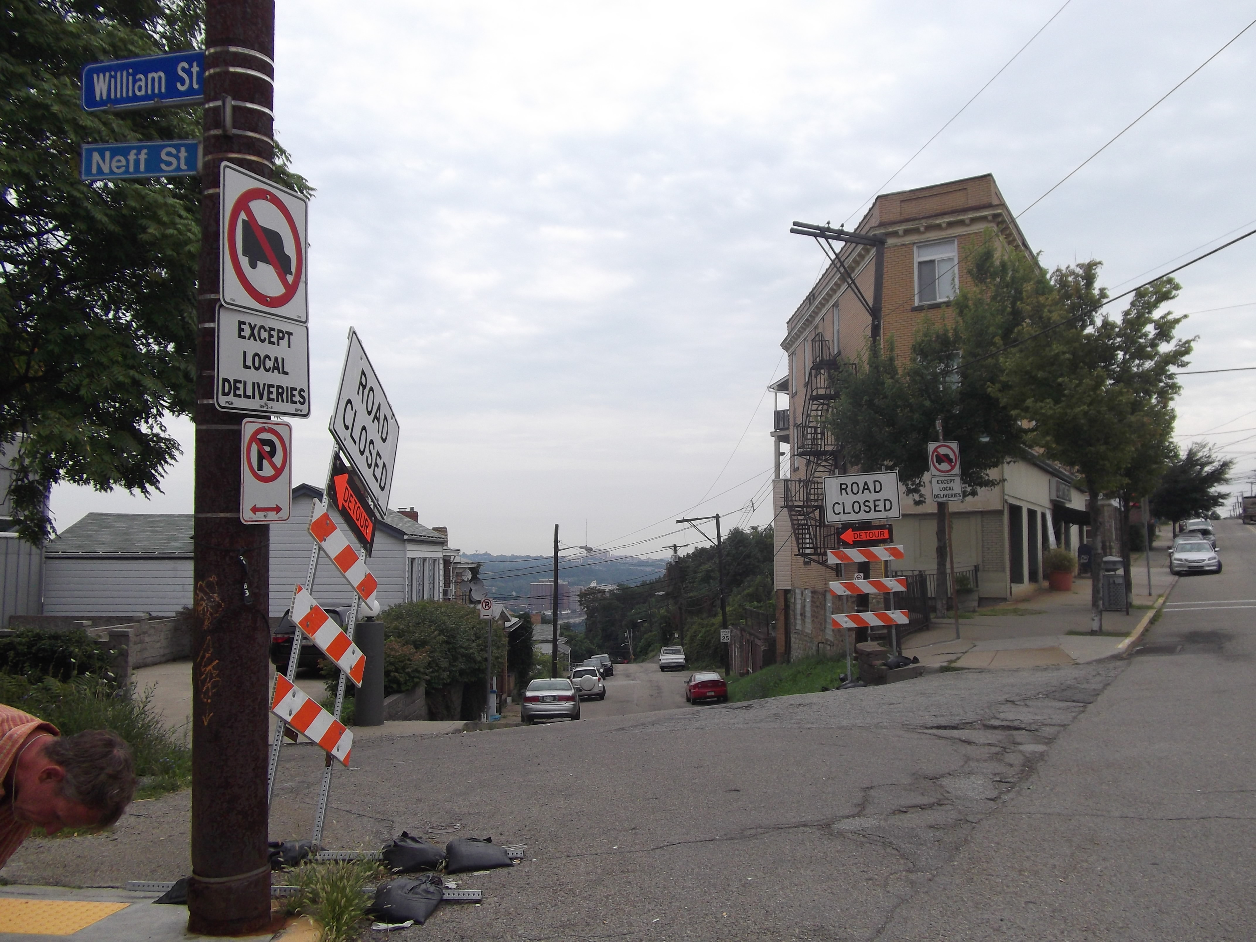
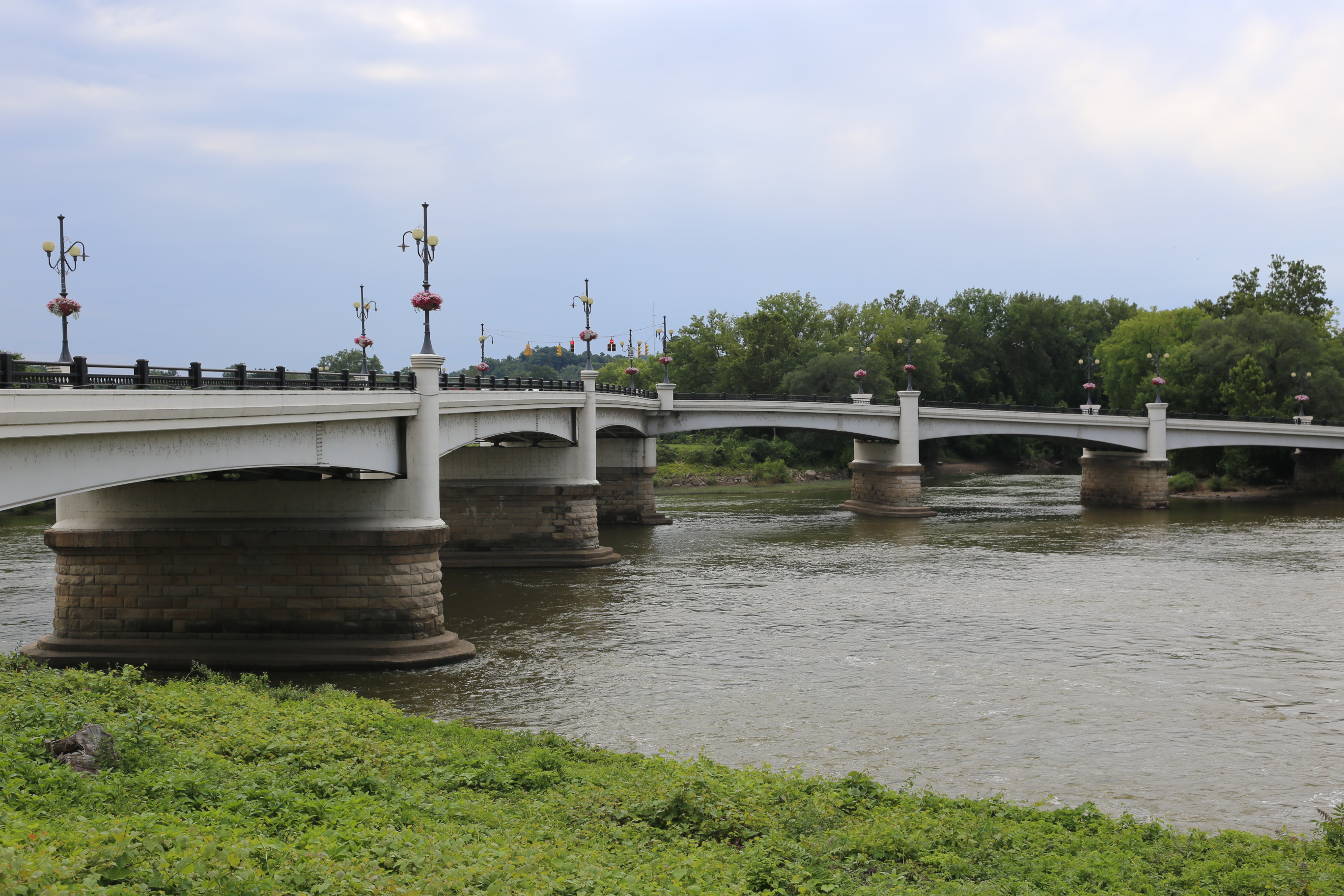
C&O Canal starts in Cumberland just where the Allegheny trail ends. C&O goes all the way into Georgetown in Washington DC and that was one of the major reasons why we chosed to go this way.

IMG_3376 IMG_3383

DSCF0817 DSCF0814

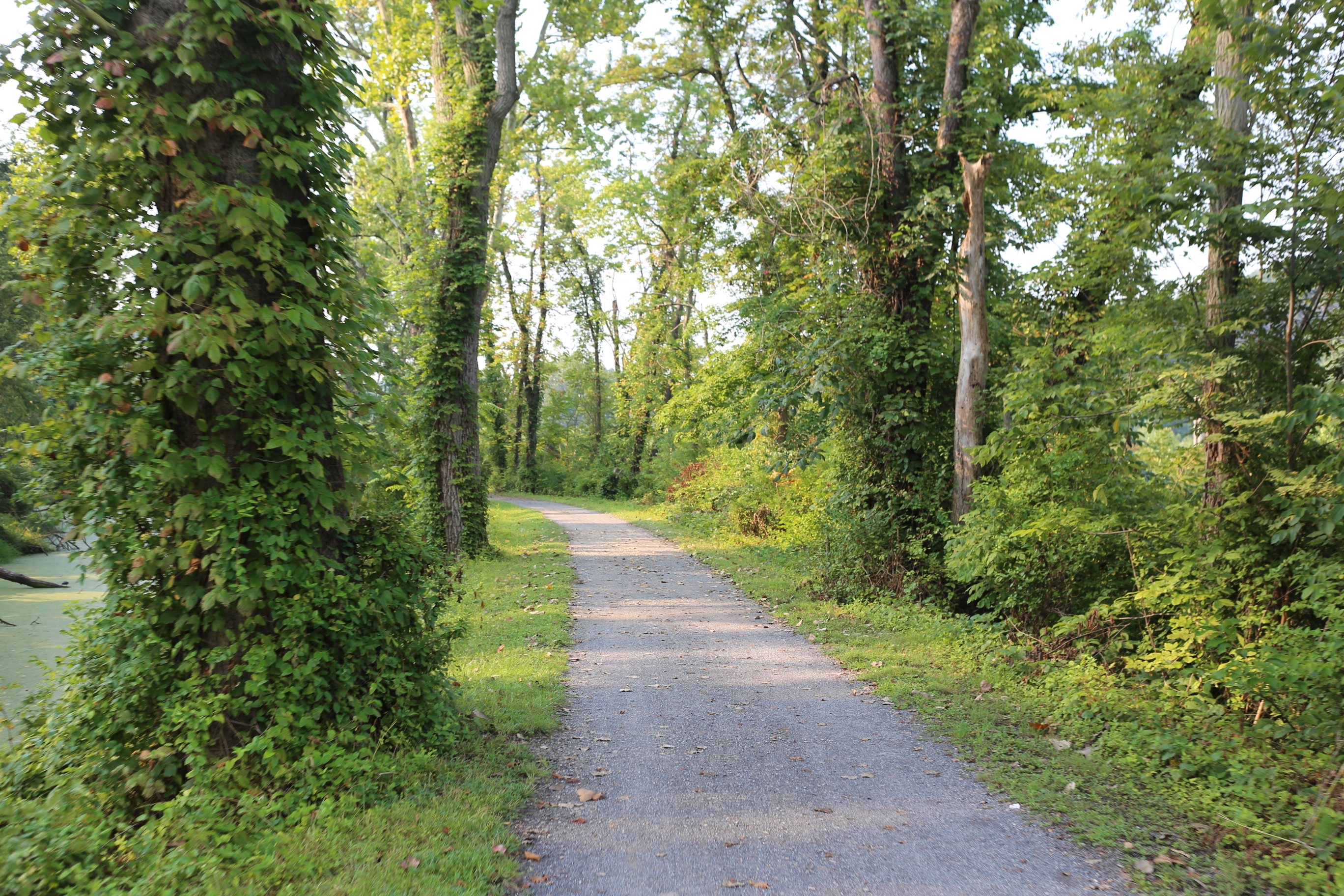
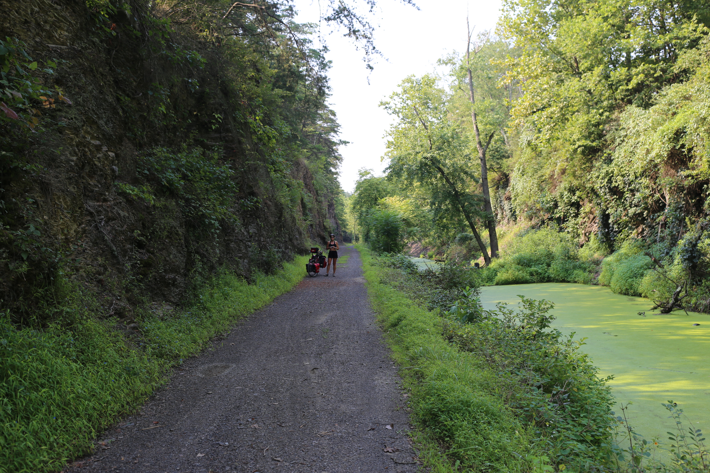
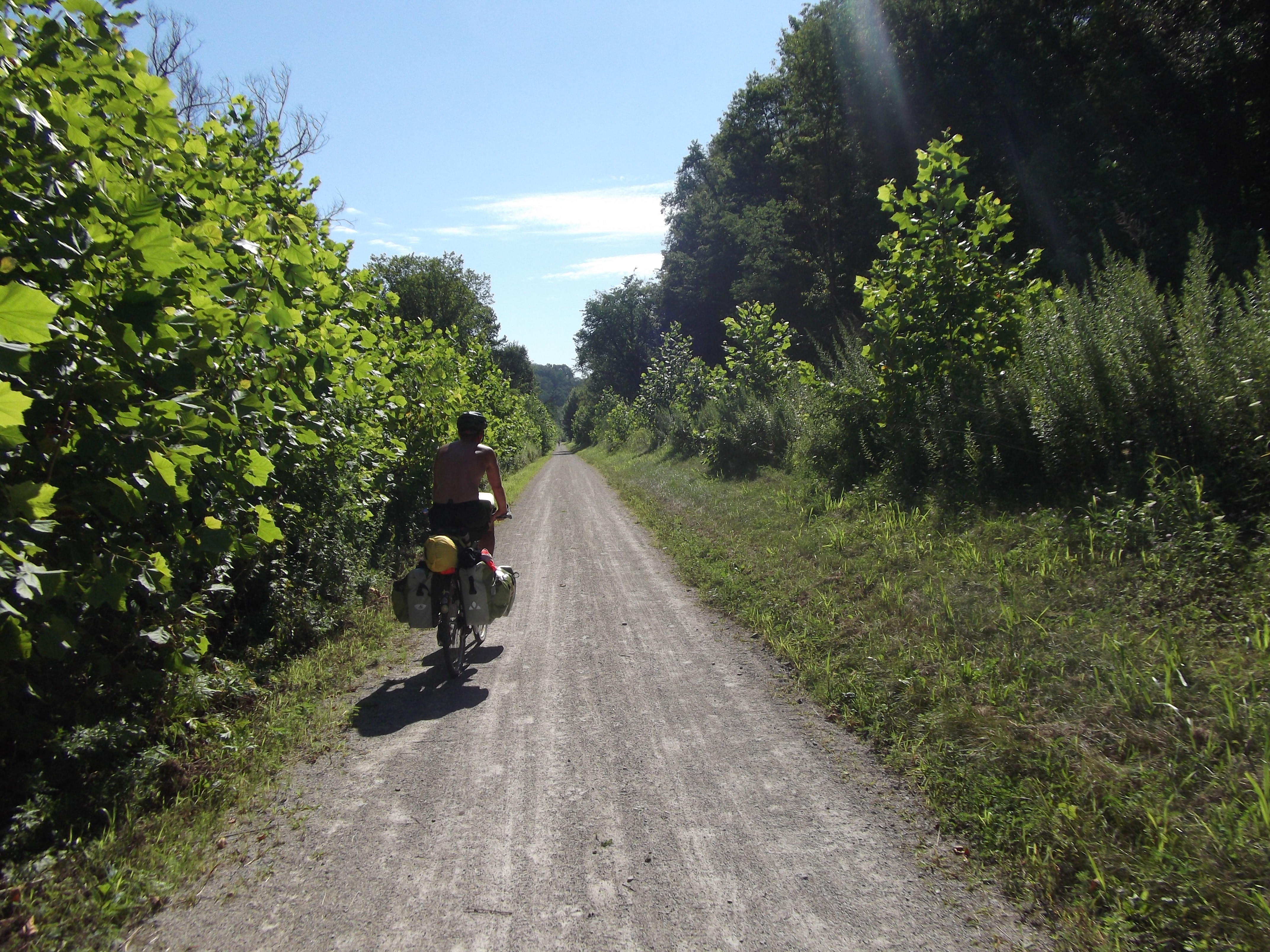
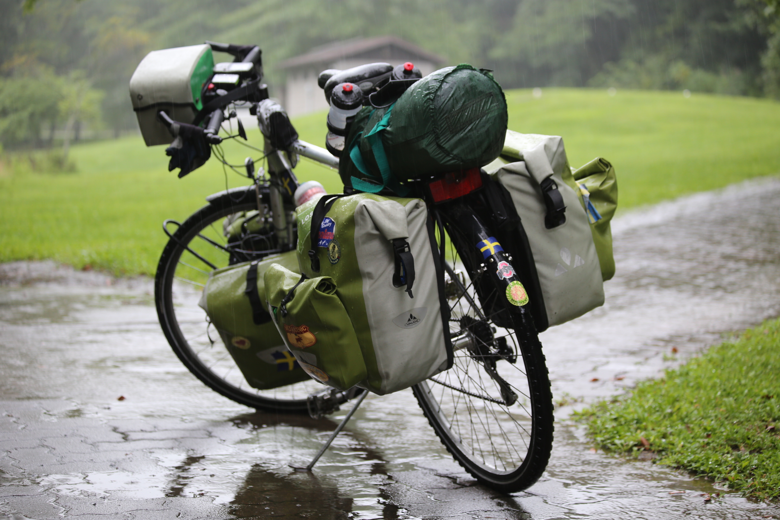
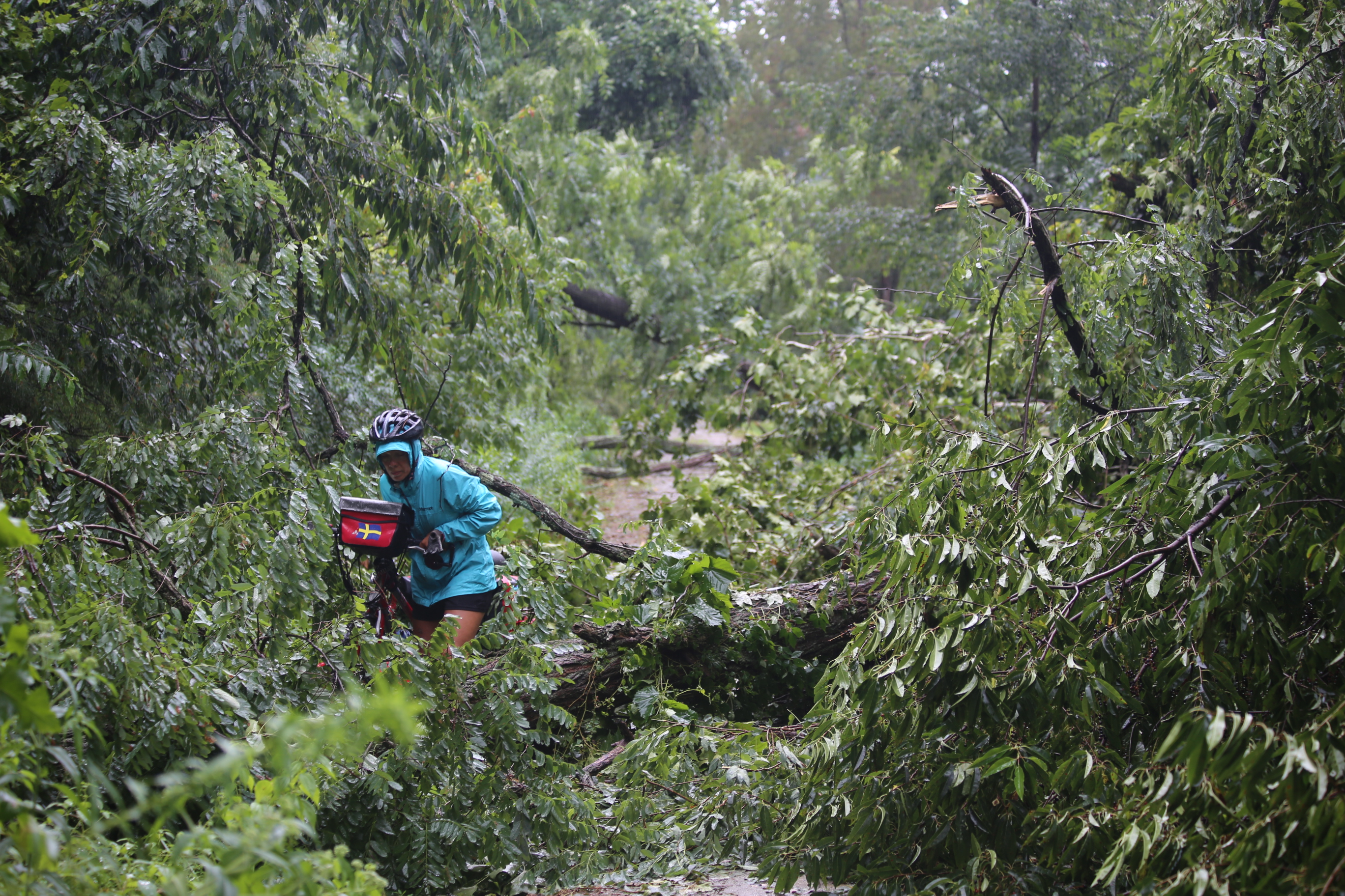
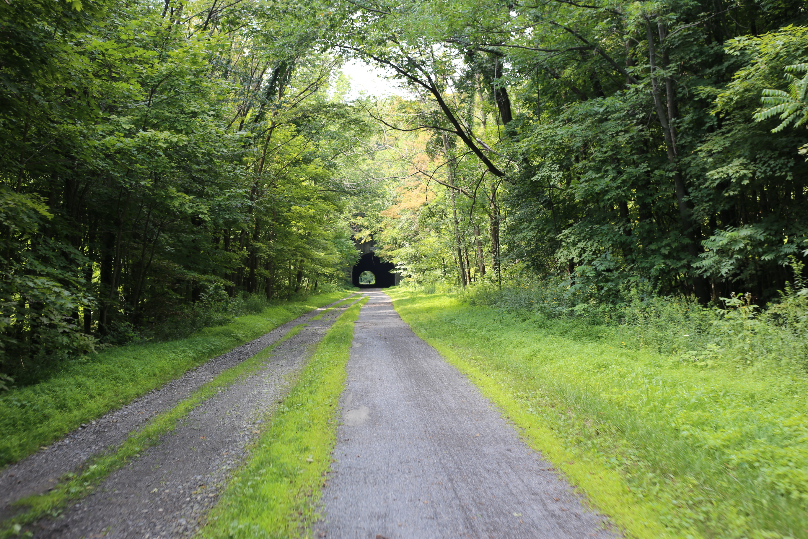
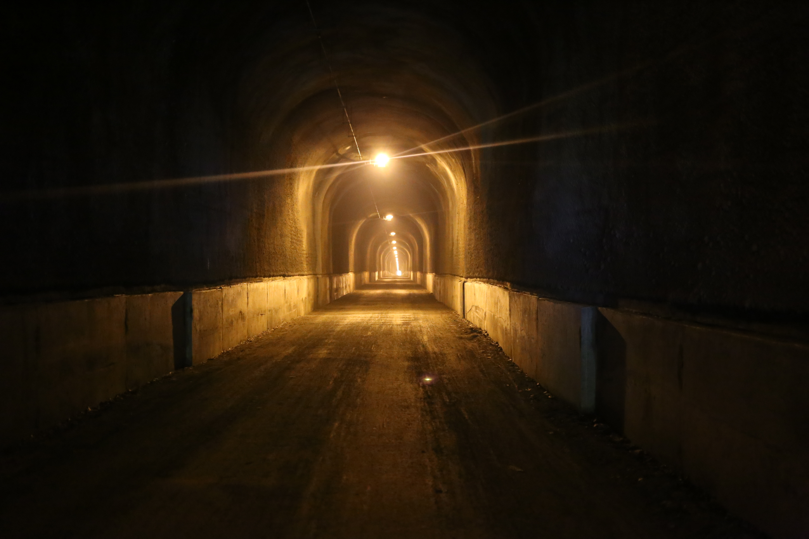
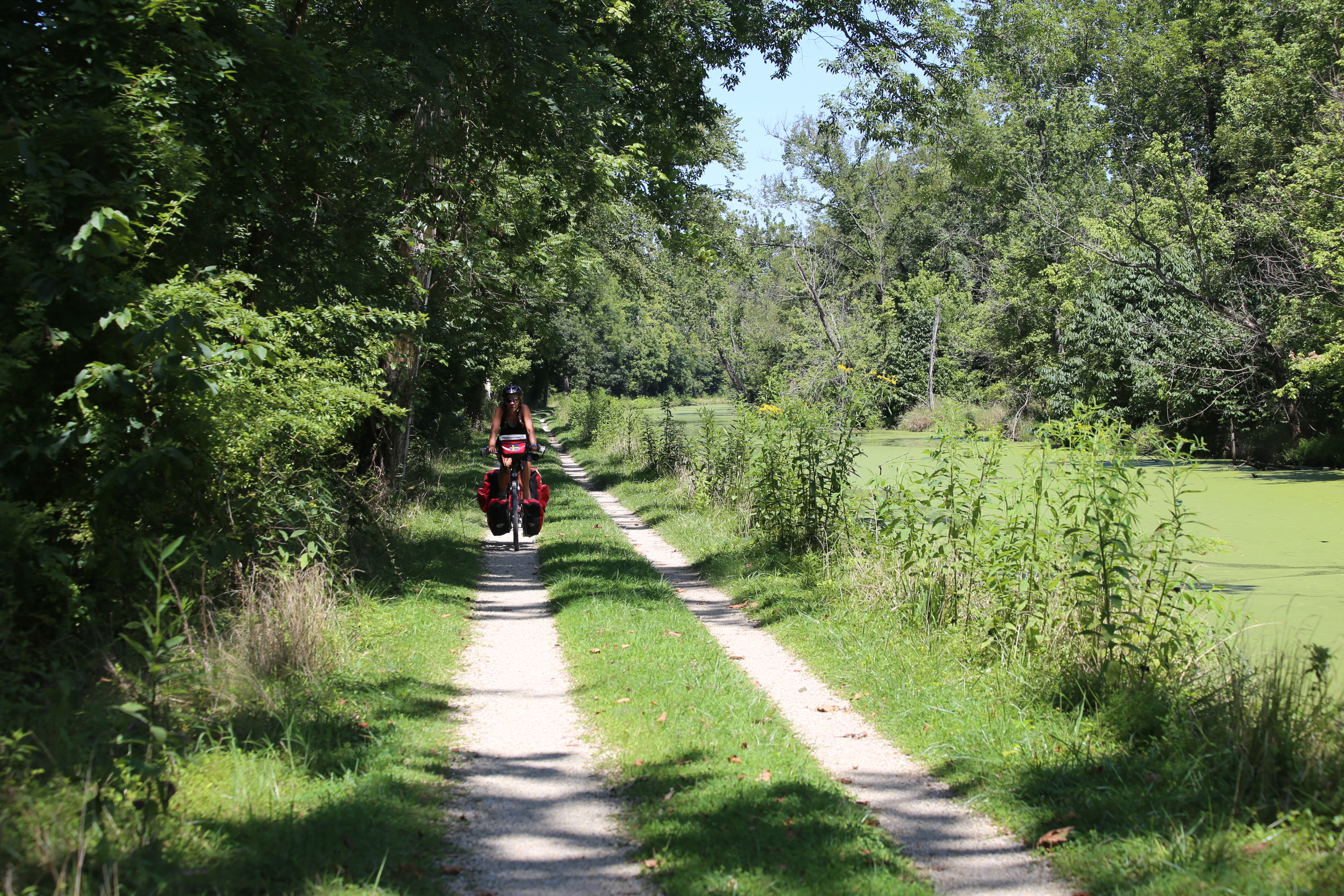
We had heard that the C&O would be rough compared to the Allegheny trail and the rain a couple of days earlier worried us a bit. Should the C&O be possible to ride? We started out from Cumberland in sunshine and the beginning of the trail was as good as the Allegheny. After a while the trail turned in to more of a forrest path with roots and rocks on the path but still not anything to get worried about. The rain had left some remains in the form of small pools of mud but those we passed safely by going straight through in a slow speed.

IMG_3415DSCF0837


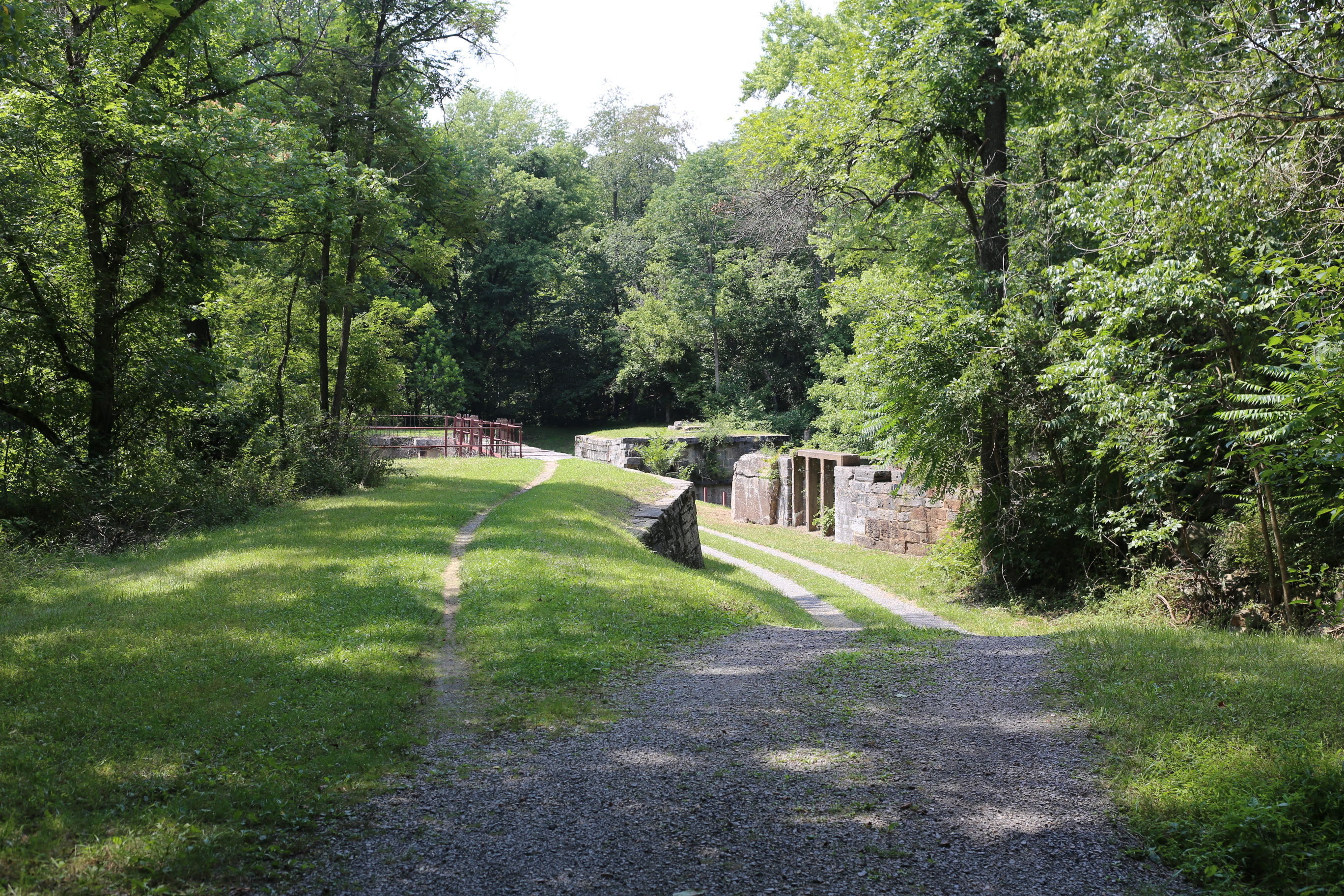
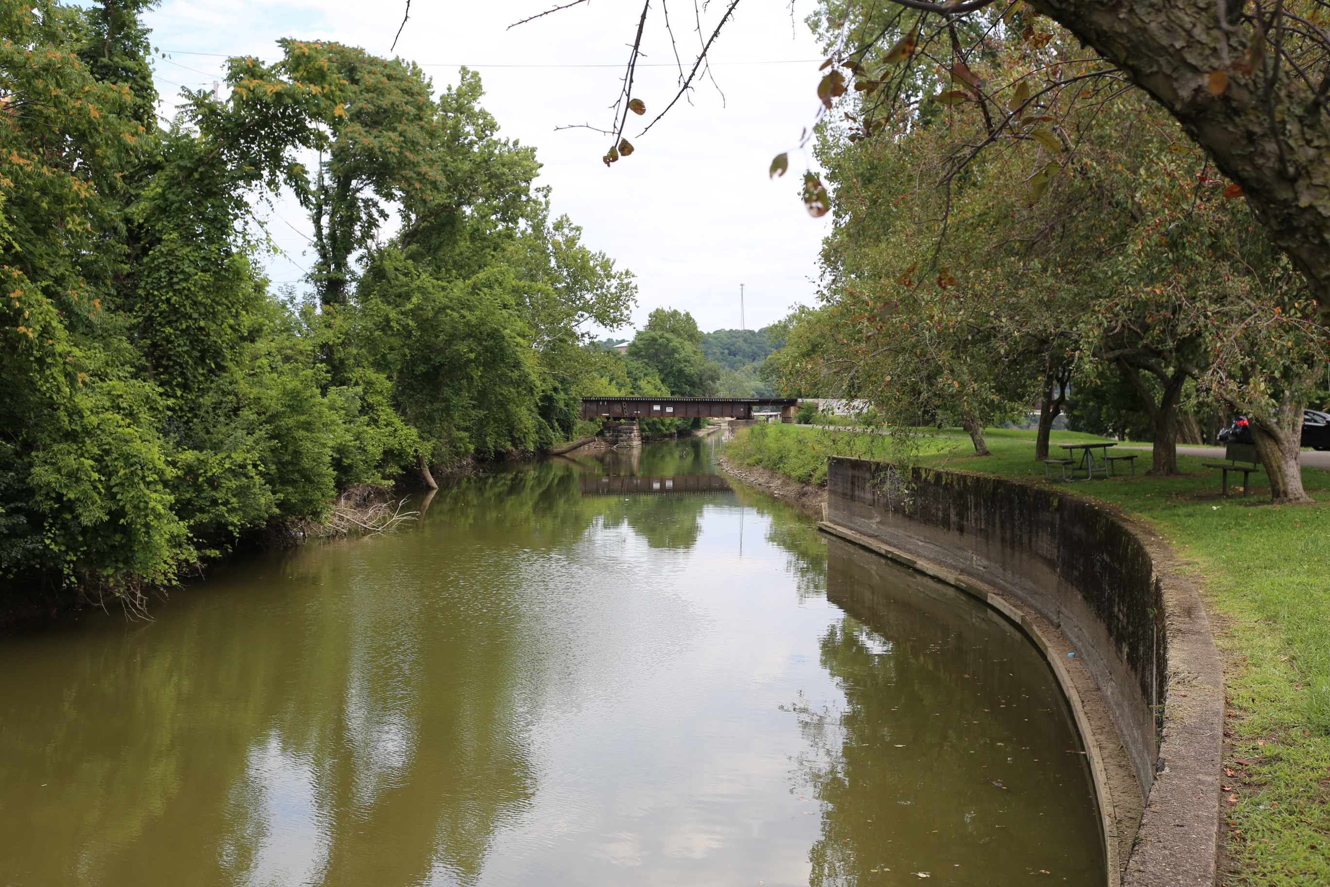
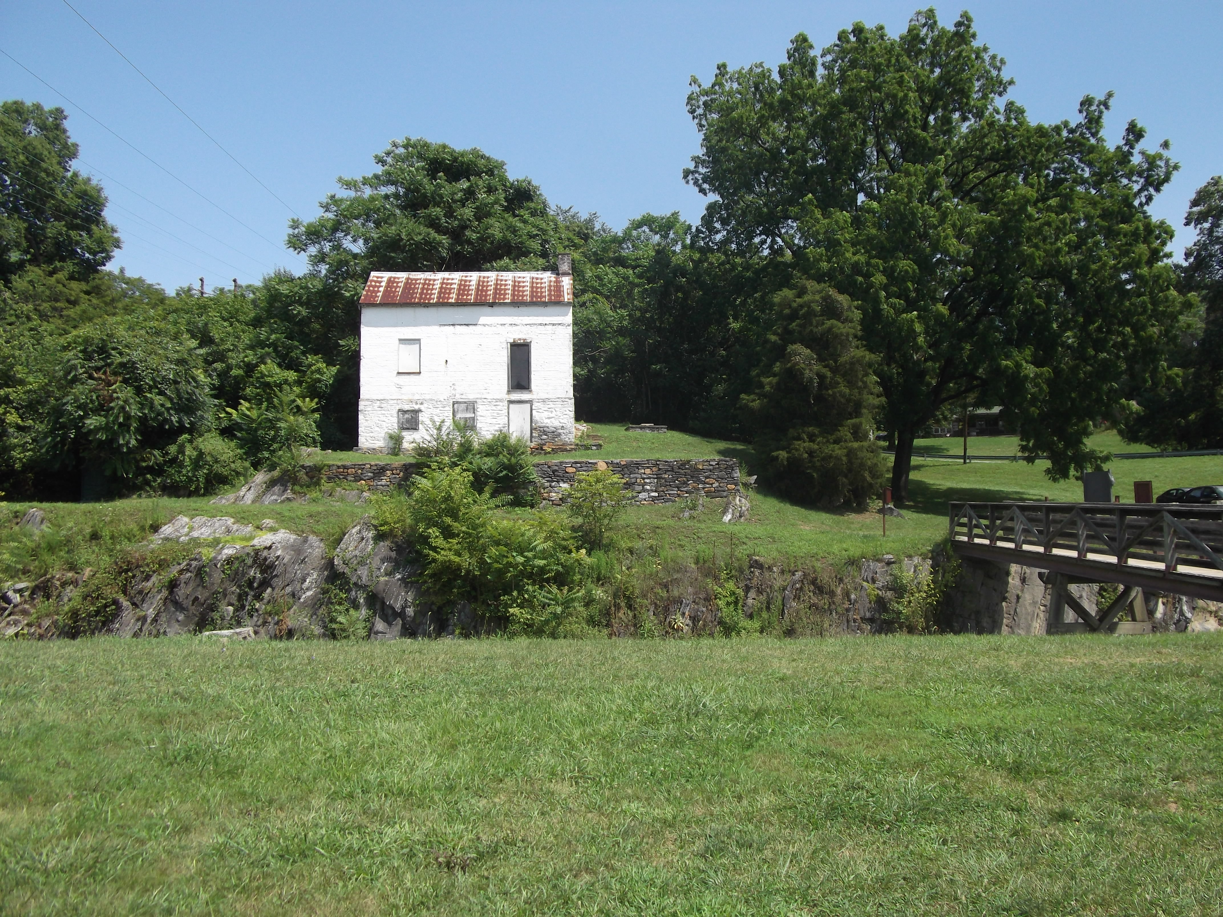
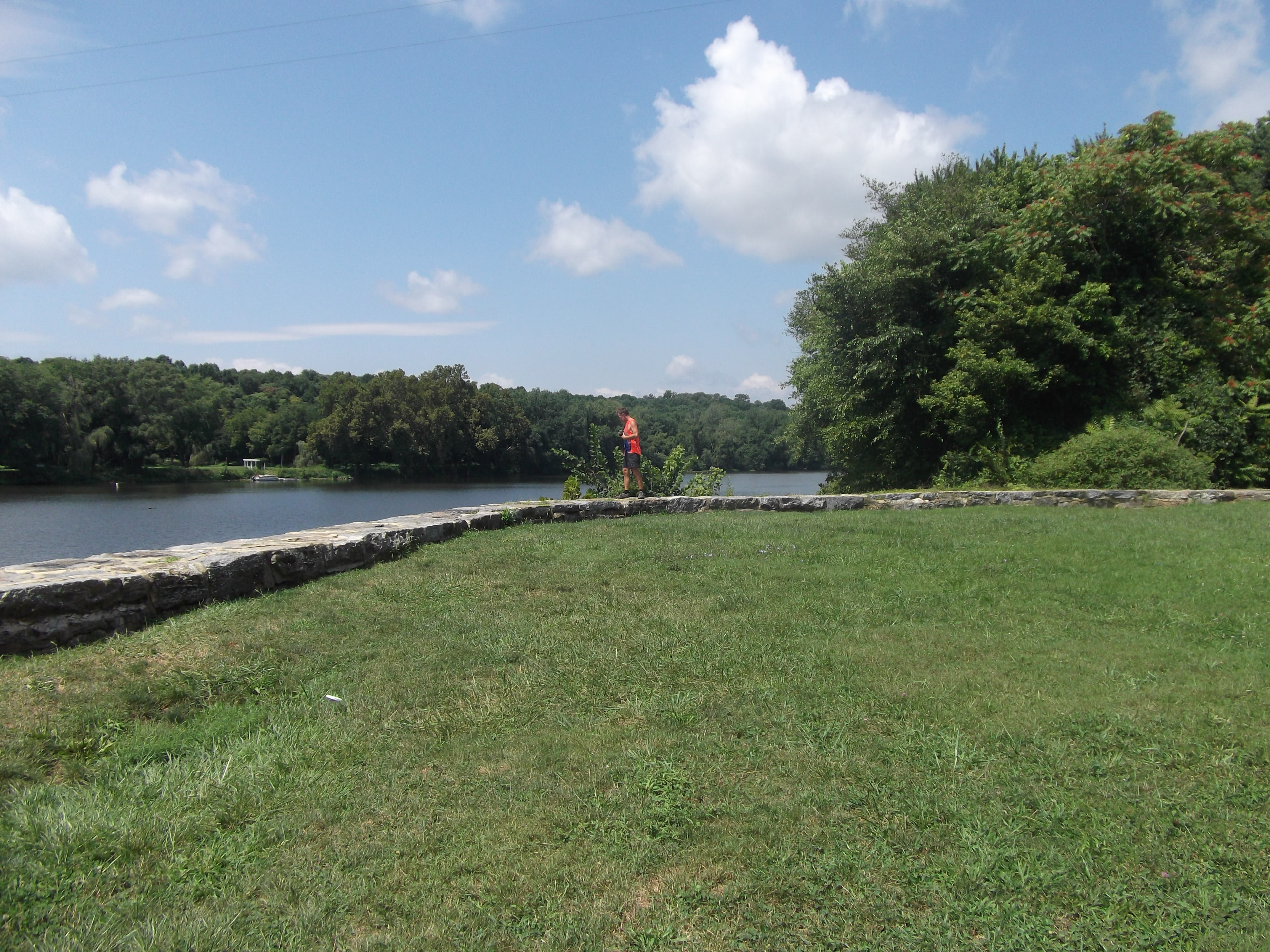
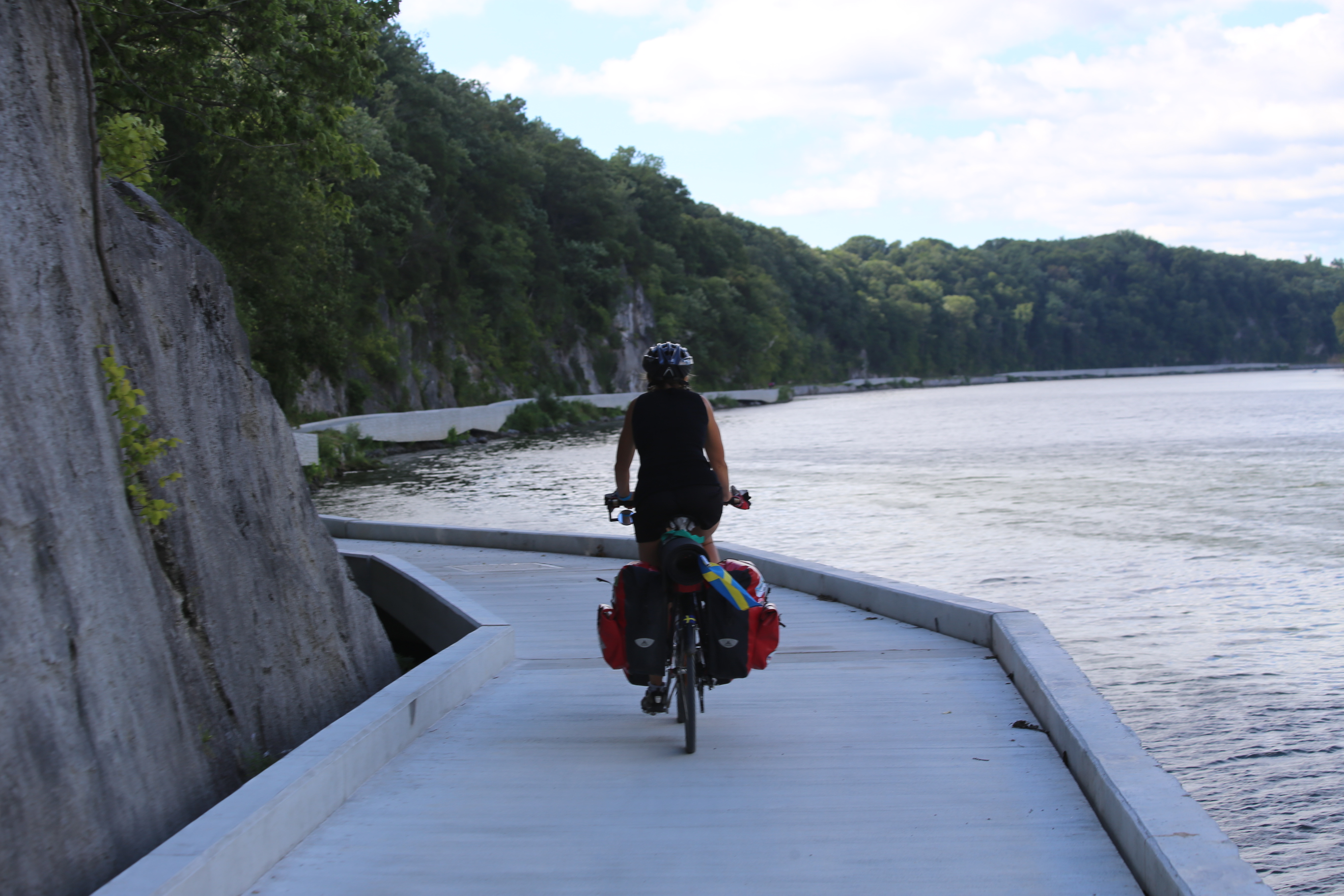
The C&O Canal trail follows the remains of the canal that once went from Washington DC to Cumberland. The canal is on one side of the trail and the Potomac river on the other. Even if it is about 90 years ago the use of the canal ended there is still a lot of remains left from the time when it was in use. Despite all the time that passed several locks and aqueducts are in good condition and gives a view of how it must have looked when the canal was in use. Most of the locks are without any gates but as we got closer to the end of the trail there where both water in the canal and gates on the locks to look at.

IMG_3442 IMG_3486

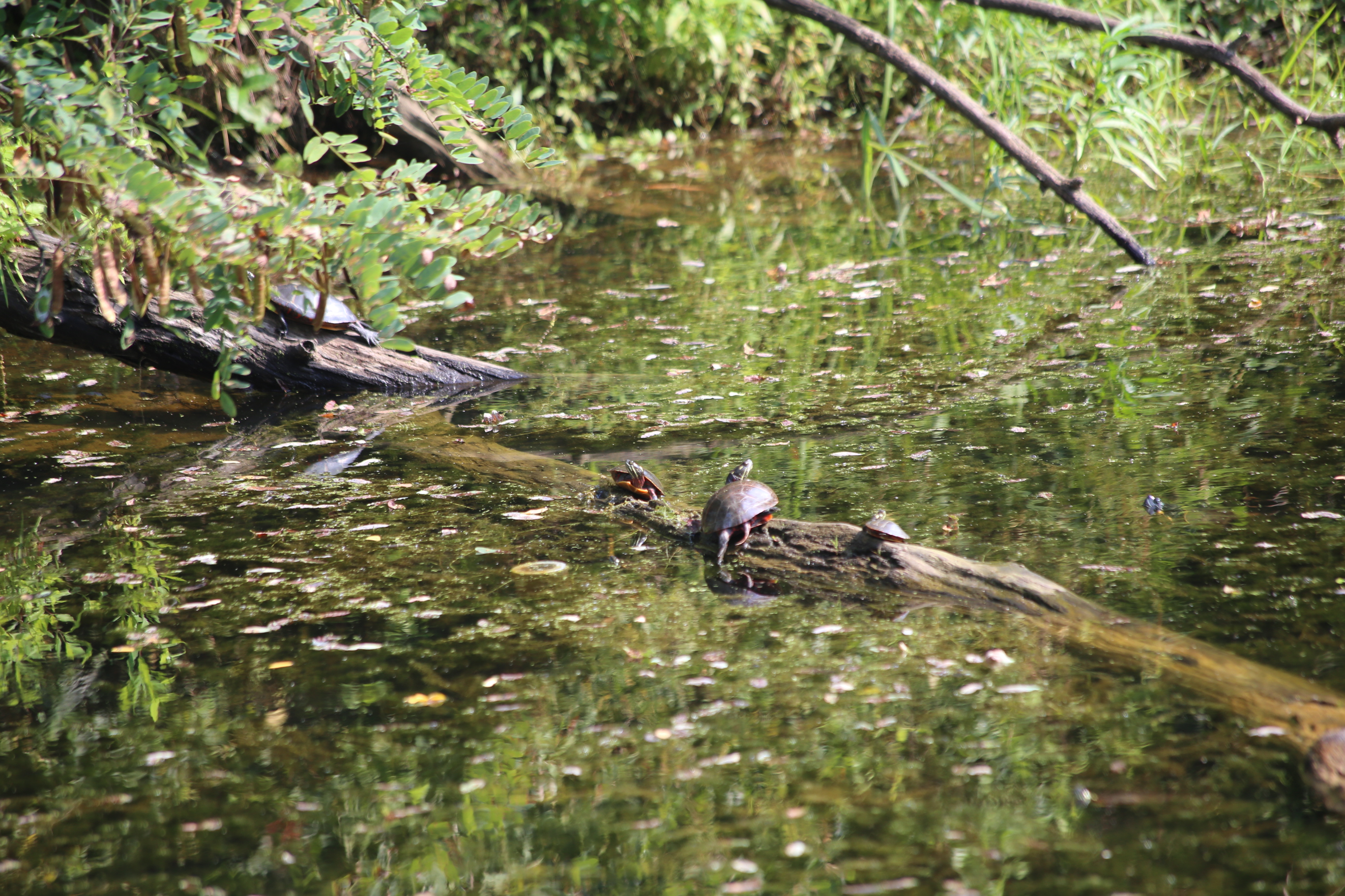
If the end of the canal is maintained and have the function as a tourist attraction the beginning looks like its forgotten. Nature is slowly taking over and the stillstanding water is now the home of water living animals with turtles as the dominating spieces.

IMG_3387

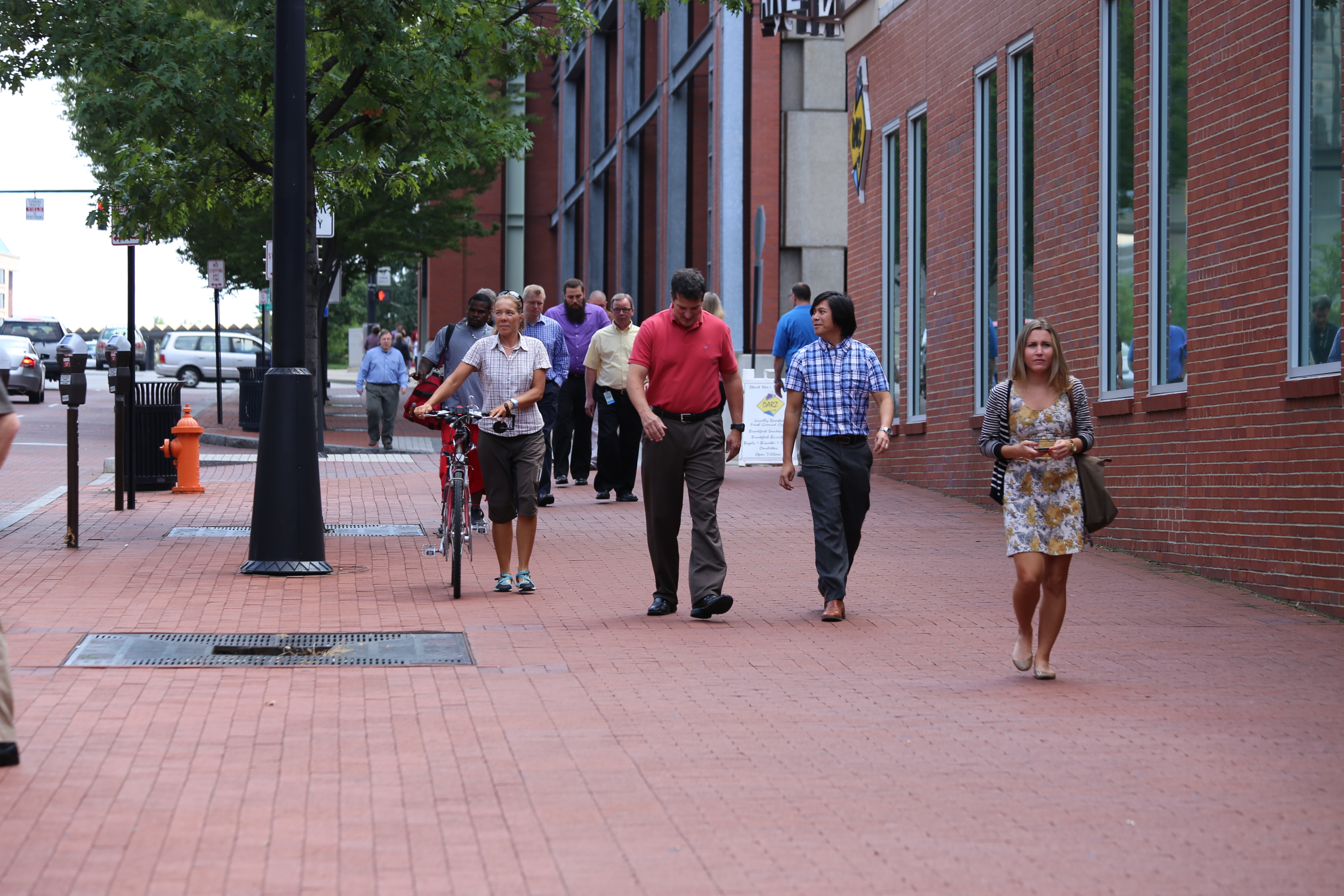
As we were getting closer to Washington, our end station, we were going slower and slower. Taking every chance to stop and enjoy the present moment knowing that when we reach Washington our trip would be over.

IMG_3566 IMG_3569DSCF0874 DSCF0873

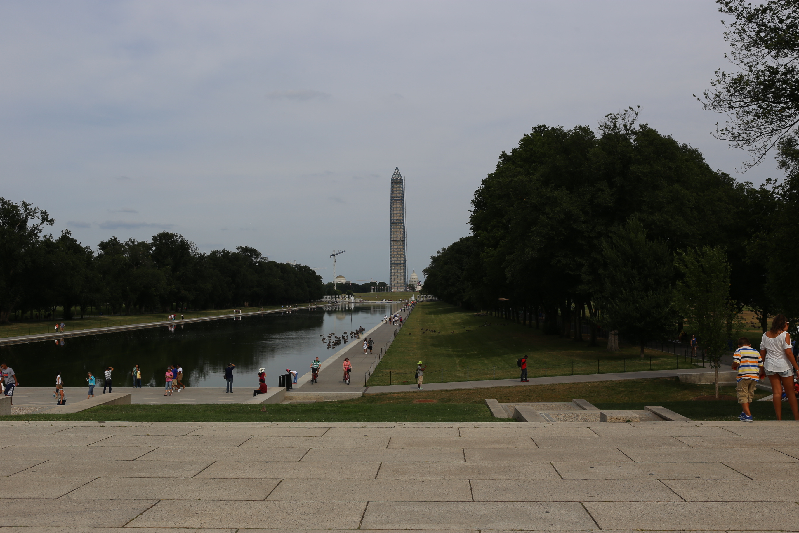
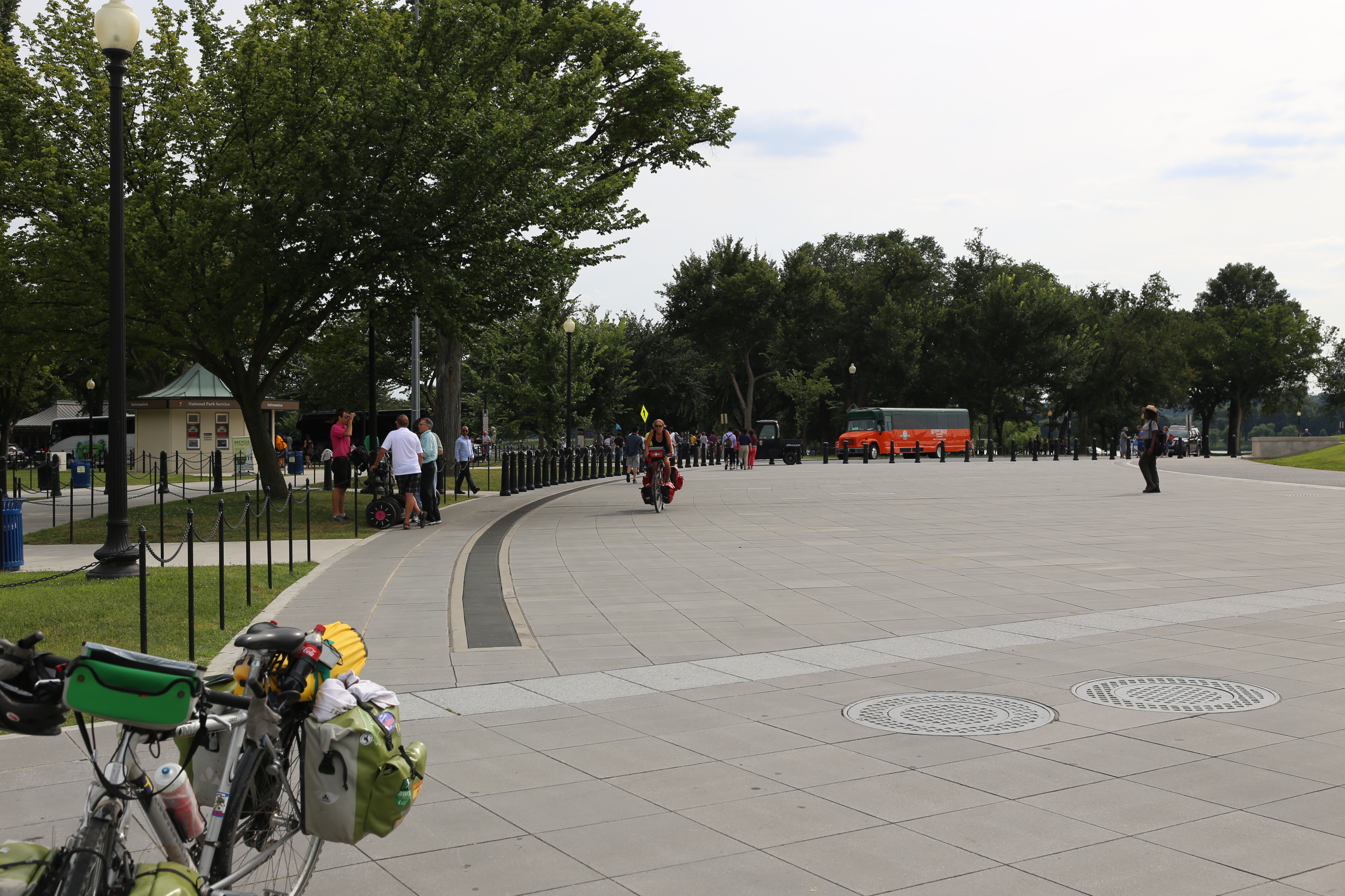
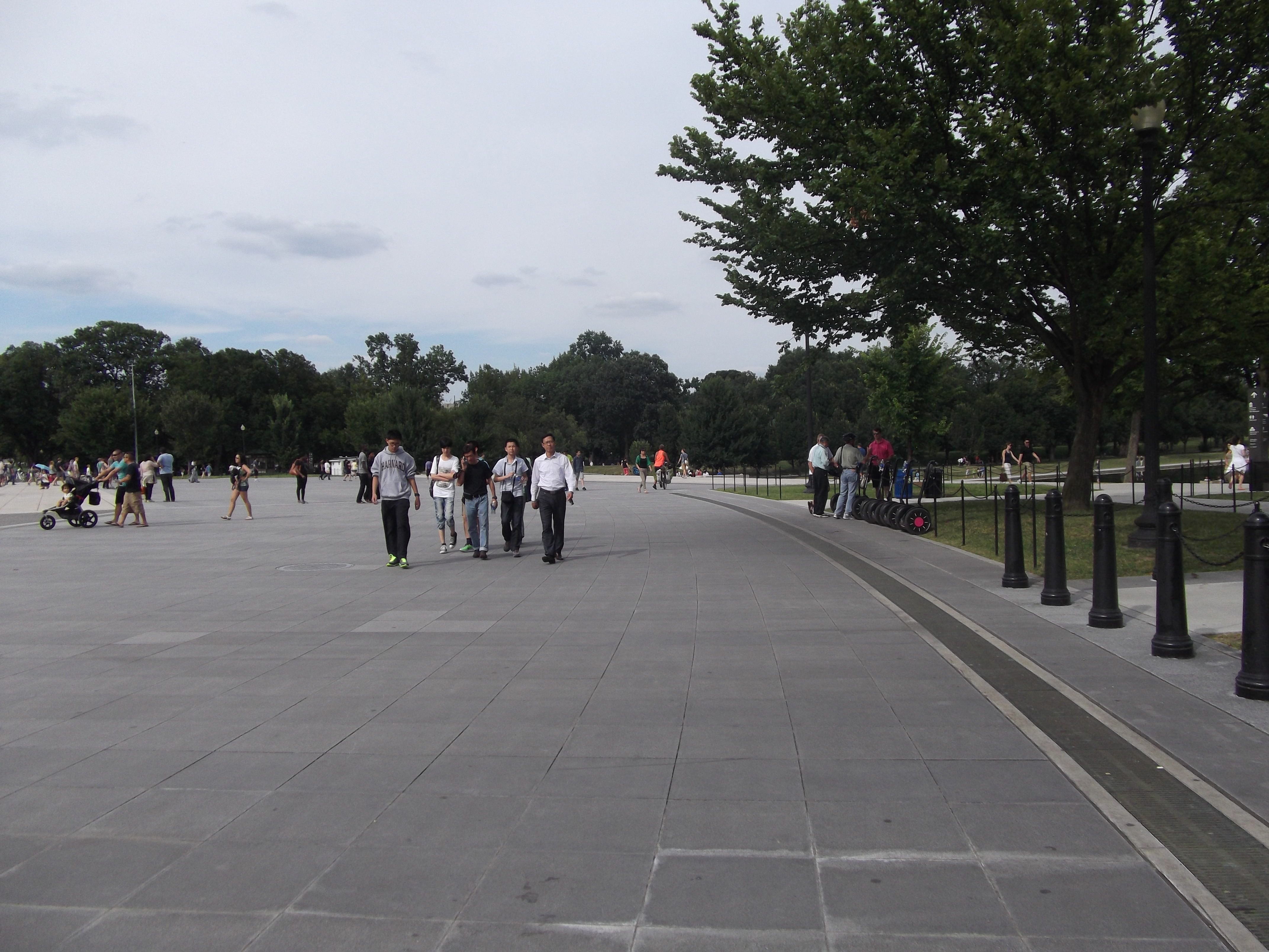
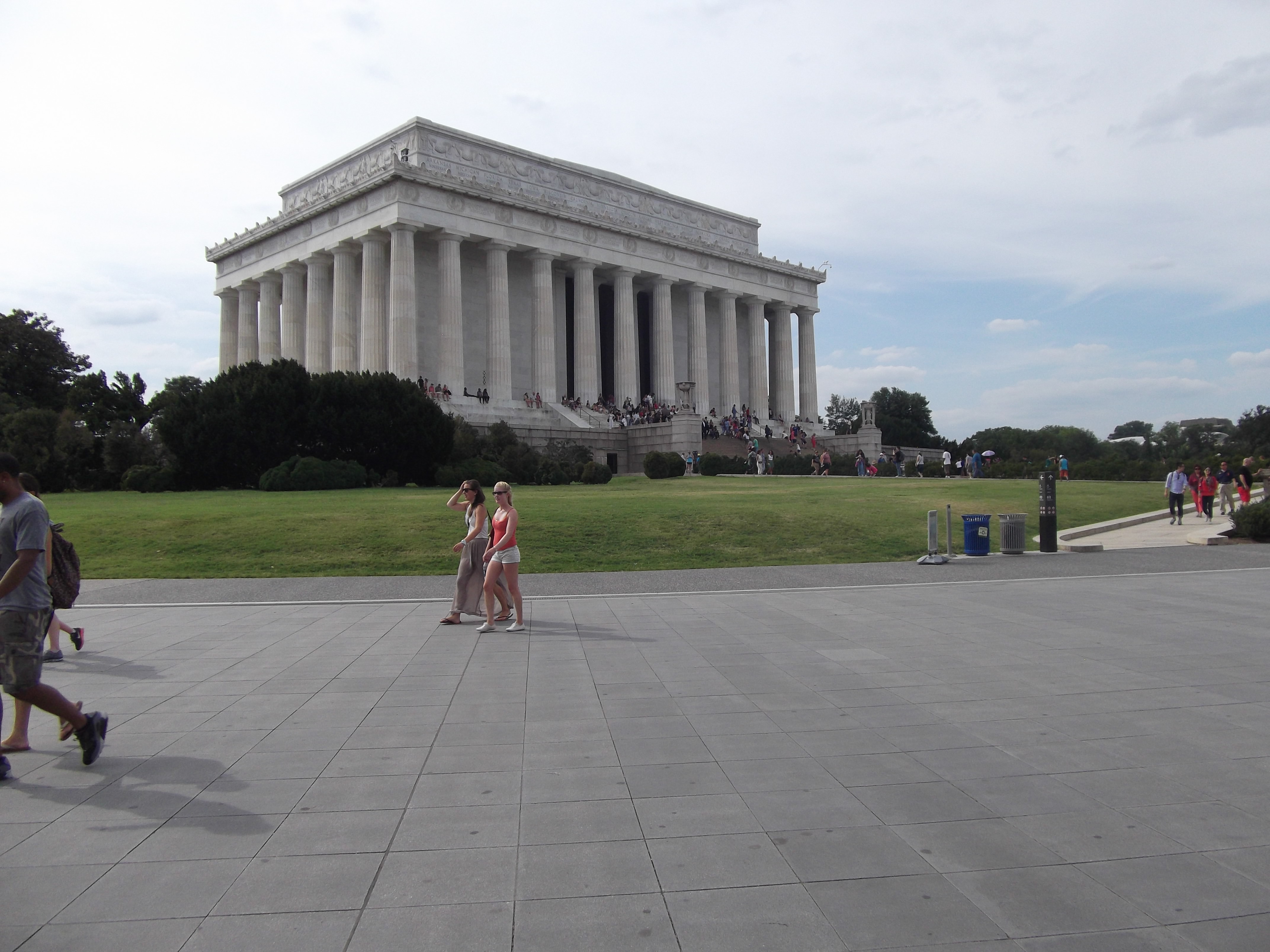
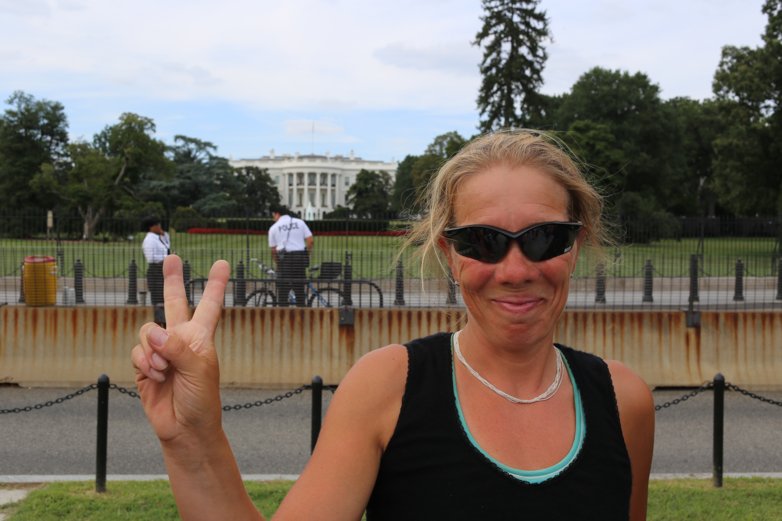
But as with all god stories it must come to an end and so even our trip, across America. We reached the outskirts of Washington about three a clock but going the last distance of a couple of miles, passing the Washington monument and the White house, took more than three hours!

IMG_3586

Our tour is done and we have reached our final destination. Whats left is to update with pictures from the last states and some numbers and statisticst. Please be welcome to do a recheck of our site then.

Until then, a BIG thanks to everyone! Everyone we met on the road and everyone that took their time to talk with us. And all of you back home that has followed us on the web.

The Great Allegheny Passage

DSCF0705

Finally we got to the startingpoint of the  ”Great Allegheny Passage”. After spending several days on the US40 we looked forward to get on the trail that so many had recommended. First morning started with a hectic ride through the morning traffic in Pittsburgh. There are well marked trails in Pittsburgh on both sides of the Monongahela river. Our trail starts on the north side and changes to the south side a bit after passing center of town. Imagine the feeling of going on a trail without any traffic! So relieving not have to watch for any motorized vehicle.

For the first day our goal was set to reach the camping at Cedar Creek. It was a smooth biking on a paved trail in the beginning, that changed into still smooth biking but on crushed gravel when we came out on the countryside.

DSCF0694

Travelling in slow pace in a beautyful scenery made us remember how this trip once started, following the Columbian river. It is more than two months since we took of from Portland, but it feels like yesterday.

Our second day on the trail did not start as easy as the first. We started of with early breakfast but had to sit and wait under a shelter while the rain pored down. Finally the rain stopped and we could leave. It took only about fifteen minutes until the rain started again.

IMG_3218 IMG_3223

On this stretch of the trail they have had a storm passing by a couple of days earlier. Leaving a lot of falling trees behind. For more than five miles there where several trees that we had to crawl under or carry our bikes over. This must be the toughest part we have done on our whole trip and definitely our slowest! Finally at the state park Ohiopyle we did, for the first time of all our biking days, mount a wet tent.

IMG_3317 IMG_3198

Even if it was a rough day we could look on the remains along the trail from times when the mining industri was at its peak. Day three and four the climb on the trail increased and we biked trough tunnels and over viaducts with fantastic views over the landscape. On our fourth day we passed over our last continental divide and the highest point on this trail and started to go downhill. A little bit from the top and just efter a tunnel opens fantastic views over the landscape. A place where one just must stop and just look!

IMG_3306

Further down the hill you can, if you are lucky, see a steam train that goes parallell to the trail. On this trip we are lucky and we did meet the train! Very nice to see these old machines still in action. Puts a smile in my face.

IMG_3337

End station of the trail is in Cumberland and there we also had planned our stop for the day. A visit to the small exhibition at the visitor center and a stroll around downtown ended our last day on The Great Allegheny Passage.

Hill(Pitt)sburgh!


IMG_2813By crossing the states of Ohio, West Virginia and entering the state of Pennsylvania we finally reached Pittsburgh. Following US40, with some detours have been pleasant and quite easy, but it is not the varied landscape from Colorado we see here. It is very nice but the lack of variation is allmost bordering on boring. Because we now have some extra time due to the shortened route we planned for extra days in some of the bigger cities. Indianapolis, Columbus and now Pittsburgh has been honored to be the hosts during our extra rest days

IMG_3089 IMG_3072 IMG_2964 IMG_2990 IMG_2966 IMG_2919 DSCF0658 IMG_3094

But why did not anyone warn us about the hills in Pittsburgh? They call their city Capital of the Appalachian and in my mind they should rename the city accordingly. Why not Hillsburgh or something similar. If you go by car there is tunnels to use. If you travel by bicycle there is not any tunnels! We solved the problem by pretending we where driving a car… If anyone are thinking of visit Pittsburgh on bicycle, please rethink! 😉 Anyhow the city is, from what we have seen, very nice and well worth a visit with or without bicycle!
IMG_2868 IMG_2858 IMG_3160 IMG_3175 IMG_3140 IMG_2912
Tomorrow we will throw ourselves into the traffic of Pittsburg once again in order to get to the starting point of the Alleghainy trail.